Posts by Collection

projects

COVID-19 Dashboard done right by cartographers Permalink

A web map to track COVID-19 data with d3.js. Many dashboards are still using web-Mercator for global map and choropleth for absolute values; this is wrong so we thought we cartographers should stand up! With Yue Lin, Armita Kar, and Ningchuan Xiao.

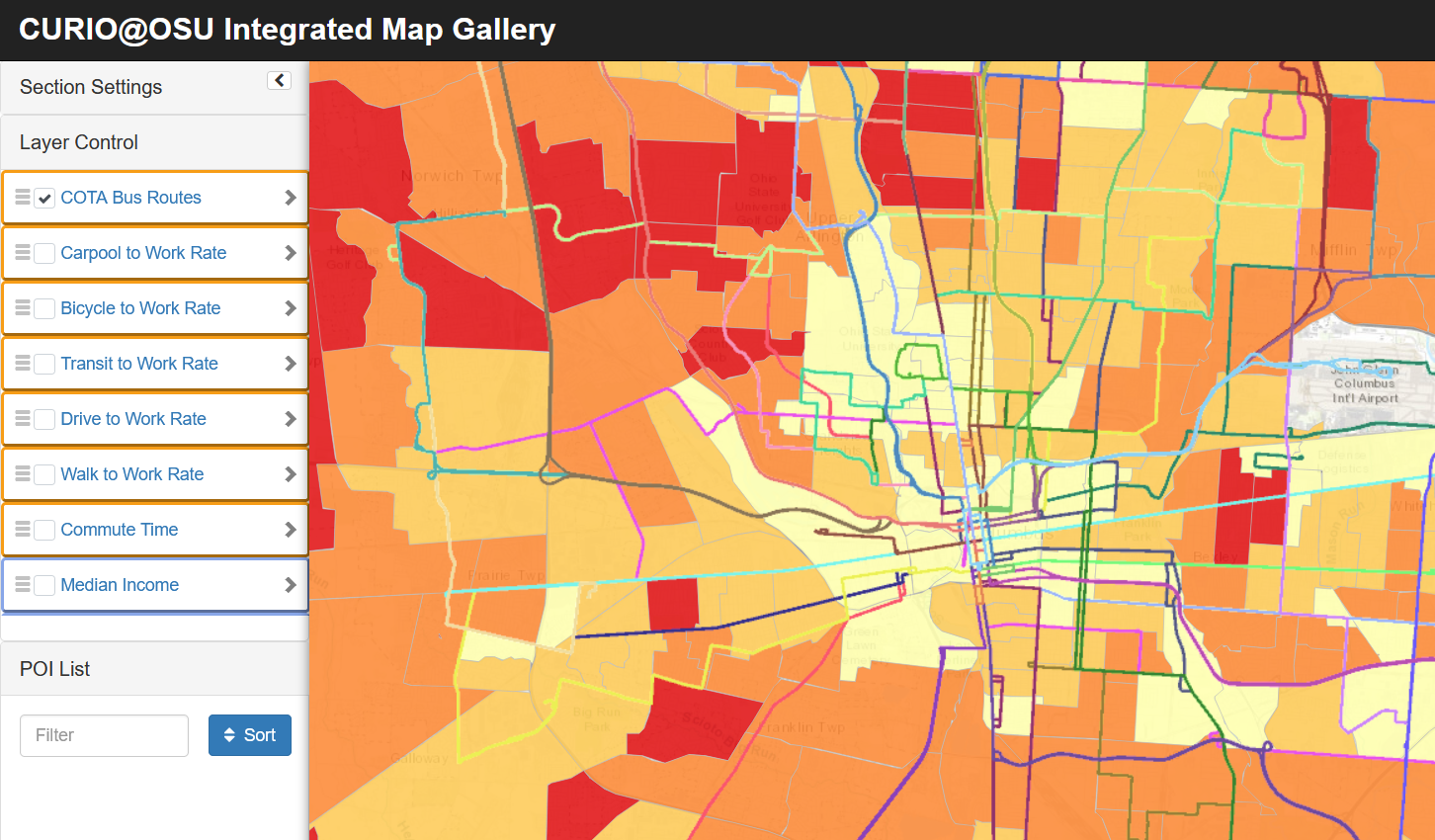
CURIO Map Gallery Permalink

An integrated web-map gallery for heterogeneous geographic information in Columbus, Ohio. Supported by Center for Urban and Regional Analysis (CURA), OSU.

publications

talks

teaching

OSU GEOG 5210: Fundamental GIS

Teaching, Ohio State University, Department of Geography, 2021

This course introduces principles of geographic information systems (GIS) and their applications in spatial analysis and information management. The course is designed to give students an understanding of cutting-edge geospatial technologies, their capabilities, uses, and limitations. Representative applications for each discipline area are demonstrated in the computer laboratory portion. (placeholder, will update later)

UCGIS Workshop: Full-stack Geo-visualization 101: How to Make Productive Webmaps

Workshop, University Consortium for Geographic Information Science, 2021

Introduction

The ability to visualize large amounts of information in real time on interactive maps has never been more important for GI scientists and specialists. Web-based and open-source platforms, such as the mapping library leaflet and the noSQL database MongoDB, are becoming more popular and useful for their real-time functionality. This workshop will serve as an introductory technical training on full-stack geo-visualization. The workshop will include an overview of web-based platforms, mapping libraries, and the backend infrastructure. During this interactive and hands-on session, all participants will have a chance to build a small web map project with a provided data pack. The whole process of programming and debugging will be demonstrated. There will be time for both development and answering questions that participants may have.